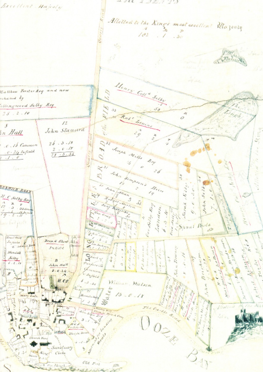
Wilkin's plan of the island, 1792. NRO 683/9/2. John Brigham's land can be seen above and slightly to the left of the sketch of the castle.
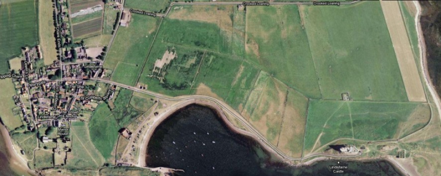
Moden-day aerial view of Holy Island. The outline of the field from the plan above can still be seen.
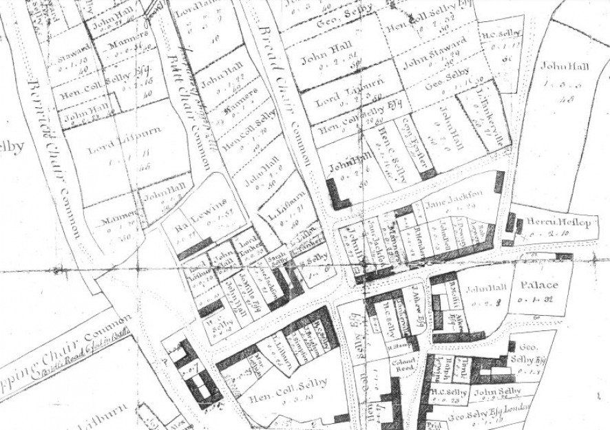
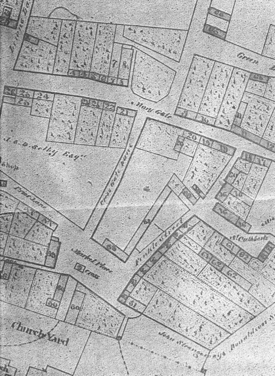
Wilkin's Plan of the Town of Holy Island, 1792. NRO 683/9/1. John Brigham's house on Marygate is marked (middle bottom).
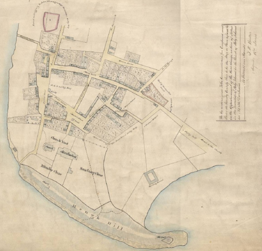
Annotated Tithe Award plan, December 1850
Detail of the 1850 plan above. James Brigham is listed as occupier of numbers 22 and 9. The former is a house in Marygate, owned by John Bevin: 'one perch, 18 yards'. Number 9 is 'Hislops Land (Arable)', owned by Charles Whyte: 'two rods, 10 perches'.
